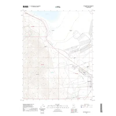
2021 Map of Hawthorne West
USGS Topo · Published 2021About this map
Hawthorne and the neighboring community of Babbitt occupy the desert floor where the Wassuk Range meets Walker Lake Valley. This recent survey illustrates a landscape defined by the intersection of military history and civil infrastructure. Along the southwestern shore of Walker Lake, Navy Beach and several industrial routes like Salvage Rd and Range Rd indicate the region's long-standing connection to federal and defense activity.
Find a feature on this map
41 named features on this map. Tap any name to fly to it.
Don’t see what you’re looking for? This feature index may not catch every label — zoom into the map to look around manually.
Map Details
Editions of this 2021 Hawthorne West Map
This is the sole edition of this map. No revisions or reprints were ever made.
Other maps of this area

1909 · Hawthorne
USGS Topo · 1:250,000

1911 · Hawthorne
USGS Topo · 1:250,000

1915 · Hawthorne
USGS Topo · 1:250,000

1948 · Walker Lake
USGS Topo · 1:250,000

1955 · Powell Mtn
USGS Topo · 1:62,500

1955 · Hawthorne
USGS Topo · 1:62,500

1956 · Mt. Grant
USGS Topo · 1:62,500

1956 · Aurora
USGS Topo · 1:62,500

1957 · Walker Lake
USGS Topo · 1:250,000

1962 · Walker Lake
USGS Topo · 1:250,000