
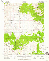
1956 Map of Aurora
USGS Topo · Published 1957About this map
Aurora's legacy as a major mid-19th-century mining center is clearly visible in this mid-1950s survey of the Nevada-California borderlands. While labeled as historic ruins, the settlement remains a focal point alongside Del Monte and the Cresco Mine, marking a landscape defined by gold and silver extraction. The presence of a Cem and various industrial features like the Tailings Pond near Gregory Flats provides a tangible look at the scale of human activity that once occurred within the high desert basin.
Find a feature on this map
37 named features on this map. Tap any name to fly to it.
Don’t see what you’re looking for? This feature index may not catch every label — zoom into the map to look around manually.
Map Details
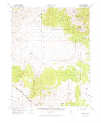
Editions of this 1956 Aurora Map
3 editions found
Other maps of this area

1891 · Wellington
USGS Topo · 1:125,000

1893 · Wellington
USGS Topo · 1:125,000

1909 · Hawthorne
USGS Topo · 1:250,000

1909 · Bridgeport
USGS Topo · 1:125,000

1911 · Bridgeport
USGS Topo · 1:125,000

1911 · Hawthorne
USGS Topo · 1:250,000

1915 · Hawthorne
USGS Topo · 1:250,000

1920 · Bridgeport
USGS Topo · 1:125,000

1948 · Walker Lake
USGS Topo · 1:250,000

1955 · Powell Mtn
USGS Topo · 1:62,500