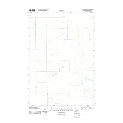
2011 Map of Hay Basin South
USGS Topo · Published 2011About this map
Fortney Ranch sits at the heart of this Montana landscape, representing the agricultural heritage of Yellowstone County in the early 21st century. The terrain is defined by a grid of rural routes including Van Sky Rd and Oswald Rd, which provide access to the expansive ranching properties and open plains. Water management is critical in this environment, evidenced by the Dreves Dam and the drainage patterns of South Fork Crooked Creek. This map documents a sparsely populated but active ranching region, where the placement of named roads like Heag Rd and Birkley Rd marks the boundaries of long-held family land and local commerce.
Find a feature on this map
15 named features on this map. Tap any name to fly to it.
Don’t see what you’re looking for? This feature index may not catch every label — zoom into the map to look around manually.
Map Details
Editions of this 2011 Hay Basin South Map
This is the sole edition of this map. No revisions or reprints were ever made.
Other maps of this area

1954 · Billings
USGS Topo · 1:250,000

1954 · Roundup
USGS Topo · 1:250,000

1956 · Comanche
USGS Topo · 1:24,000

1956 · Acton
USGS Topo · 1:24,000

1956 · Hickson Ranch
USGS Topo · 1:24,000

1957 · Billings
USGS Topo · 1:250,000

1958 · Billings
USGS Topo · 1:250,000

1958 · Roundup
USGS Topo · 1:250,000

1979 · Roundup
USGS Topo · 1:100,000

1979 · Hay Basin NE
USGS Topo · 1:24,000