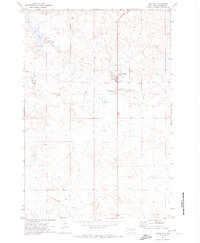
2005 Map of Hay Creek
USGS Topo · Published 2007About this map
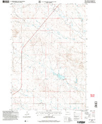
Hay Creek meanders through the central terrain of this Harding County landscape, defining a drainage pattern typical of the High Plains. Revised in 2005 by the Forest Service, the survey illustrates a sparely settled region where topography and water sources dictate the human footprint. Seasonal waterways like Bull Creek, Jones Creek, and Boxelder Creek carve through the land, indicating the vital role of these drainages in an area where permanent water is scarce.
Find a feature on this map
7 named features on this map. Tap any name to fly to it.
Don’t see what you’re looking for? This feature index may not catch every label — zoom into the map to look around manually.
Map Details
Editions of this 2005 Hay Creek Map
This is the sole edition of this map. No revisions or reprints were ever made.
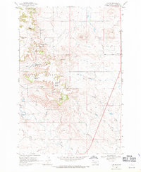
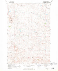
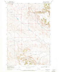
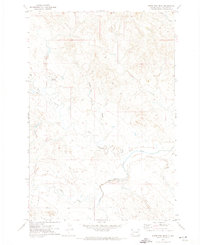
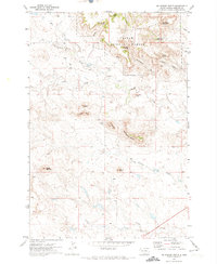
Other maps of this area

1935 · Reva
USGS Topo · 1:125,000

1935 · Buffalo
USGS Topo · 1:125,000

1954 · Lemmon
USGS Topo · 1:250,000

1957 · Lemmon
USGS Topo · 1:250,000
1968 · Ludlow
USGS Topo · 1:24,000
1968 · Ludlow SE
USGS Topo · 1:24,000
1969 · Ladner SE
USGS Topo · 1:24,000
1971 · Buffalo
USGS Topo · 1:24,000
1971 · Sheep Pen Draw
USGS Topo · 1:24,000
1971 · McKenzie Butte
USGS Topo · 1:24,000