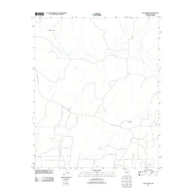
2011 Map of Hay Hollow
USGS Topo · Published 2011About this map
The Little Colorado River winds through this arid landscape in eastern Arizona, serving as the central geographic feature near the small settlement of Hay Hollow. This region of Navajo County is defined by its seasonal water sources and drainage systems, such as Mexican Hollow Wash and Cottonwood Wash, which are essential to life in the high desert. The map illustrates a network of rural routes and ranch roads, including Woodruff Hay Hollow Rd and Mile High Ranch Rd, connecting isolated pockets of development. Numerous man-made water features, categorized as tanks, are scattered across the terrain to support local activities. These include Jim Dandy Tank, Antelope Tank, and Dry Lake Tank, which alongside Horse Seep, highlight the critical importance of water management for the ranching operations and inhabitants of Mexican Hollow.
Find a feature on this map
31 named features on this map. Tap any name to fly to it.
Don’t see what you’re looking for? This feature index may not catch every label — zoom into the map to look around manually.
Map Details
Editions of this 2011 Hay Hollow Map
This is the sole edition of this map. No revisions or reprints were ever made.
Other maps of this area

1886 · St Johns
USGS Topo · 1:250,000

1886 · Holbrook
USGS Topo · 1:250,000

1892 · St Johns
USGS Topo · 1:250,000

1893 · Holbrook
USGS Topo · 1:250,000

1912 · Petrified Forest
USGS Topo · 1:62,500

1954 · Holbrook
USGS Topo · 1:250,000

1954 · Saint Johns
USGS Topo · 1:250,000

1955 · Petrified Forest
USGS Topo · 1:62,500

1955 · Adamana 3 NE
USGS Topo · 1:24,000

1955 · St. Joseph 1 SE
USGS Topo · 1:24,000