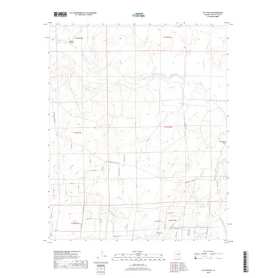
2018 Map of Hay Hollow
USGS Topo · Published 2018About this map
The Little Colorado River winds through this arid expanse of Navajo County, defining a landscape of canyons and washes carved over millennia. This 2018 survey documents a remote ranching and grazing territory where water is the primary architect of human activity. The prevalence of named cattle tanks, such as Jim Dandy Tank, Antelope Tank, and Dry Lake Tank, reflects the essential infrastructure of desert survival. Natural drainage patterns are marked by features like Mexican Hollow Wash and Cottonwood Wash, which converge toward the river.
Find a feature on this map
46 named features on this map. Tap any name to fly to it.
Don’t see what you’re looking for? This feature index may not catch every label — zoom into the map to look around manually.
Map Details
Editions of this 2018 Hay Hollow Map
This is the sole edition of this map. No revisions or reprints were ever made.
Other maps of this area

1886 · St Johns
USGS Topo · 1:250,000

1886 · Holbrook
USGS Topo · 1:250,000

1892 · St Johns
USGS Topo · 1:250,000

1893 · Holbrook
USGS Topo · 1:250,000

1912 · Petrified Forest
USGS Topo · 1:62,500

1954 · Holbrook
USGS Topo · 1:250,000

1954 · Saint Johns
USGS Topo · 1:250,000

1955 · Petrified Forest
USGS Topo · 1:62,500

1955 · Adamana 3 NE
USGS Topo · 1:24,000

1955 · St. Joseph 1 SE
USGS Topo · 1:24,000