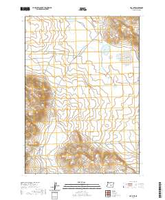
2020 Map of Hay Lake
USGS Topo · Published 2020About this map
Hay Lake and the surrounding high desert of Harney County are defined by a sophisticated system of water management used for ranching and wildlife. This landscape is a complex network of seasonal catchments and named springs, including Poteet Spring and Harry Arnold Spring, which provide essential moisture in an otherwise arid environment. The presence of numerous engineered features like Surprise Lake Reservoir, Indian Brave Reservoir, and Spring Canyon Reservoir highlights the human effort to capture runoff from seasonal drainages like Big Stick Cr.
Find a feature on this map
22 named features on this map. Tap any name to fly to it.
Don’t see what you’re looking for? This feature index may not catch every label — zoom into the map to look around manually.
Map Details
Editions of this 2020 Hay Lake Map
This is the sole edition of this map. No revisions or reprints were ever made.
Other maps of this area

1955 · Burns
USGS Topo · 1:250,000

1958 · Burns
USGS Topo · 1:250,000

1959 · Burns
USGS Topo · 1:250,000

1980 · Squaw Butte
USGS Topo · 1:24,000

1980 · Wagontire Mtn West
USGS Topo · 1:24,000

1980 · Round Top Butte
USGS Topo · 1:24,000

1980 · Alec Butte
USGS Topo · 1:24,000

1980 · Hay Lake
USGS Topo · 1:24,000

1980 · Wagontire Mtn East
USGS Topo · 1:24,000

1981 · Hat Butte
USGS Topo · 1:24,000