
1980 Map of Alec Butte
USGS Topo · Published 1980About this map
Egli Ridge dominates the western landscape of this Harney County high-desert terrain, where water management defines the footprint of human activity. The map reveals an intricate network of small-scale irrigation and livestock watering points, from the Old Peterson Ranch near the center of the sheet to numerous catchments like Horseshoe Bar Reservoir, Peterson Reservoir, and Shroder Reservoir. These features, along with names like Big Tank and Big Stick Spring, reflect the vital importance of water rights and ranching infrastructure in the arid Oregon interior during the late 1970s.
Find a feature on this map
18 named features on this map. Tap any name to fly to it.
Don’t see what you’re looking for? This feature index may not catch every label — zoom into the map to look around manually.
Map Details
Editions of this 1980 Alec Butte Map
This is the sole edition of this map. No revisions or reprints were ever made.
Other maps of this area

1955 · Burns
USGS Topo · 1:250,000

1958 · Burns
USGS Topo · 1:250,000

1959 · Burns
USGS Topo · 1:250,000

1980 · Capehart Lake
USGS Topo · 1:24,000

1980 · Squaw Butte
USGS Topo · 1:24,000

1980 · Hay Lake
USGS Topo · 1:24,000

1980 · Wagontire Mtn East
USGS Topo · 1:24,000

1980 · Lake on The Trail
USGS Topo · 1:24,000
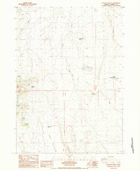
1984 · Goose Egg Butte
USGS Topo · 1:24,000
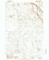
1984 · Wilson Butte
USGS Topo · 1:24,000