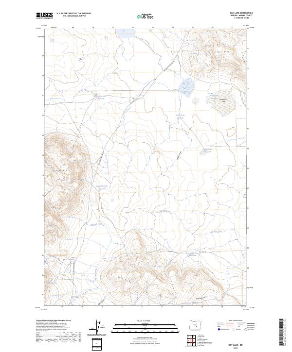
2023 Map of Hay Lake
USGS Topo · Published 2023About this map
High desert water management and rugged landforms characterize this section of Harney County, where the storage of seasonal runoff is essential to the landscape. Numerous catchments such as Surprise Lake Reservoir, Indian Brave Reservoir, and Sheep Mountain Reservoir are scattered across the terrain, highlighting the region's reliance on engineered water sources. The topography is defined by prominent elevations like Sheep Mtn and the extended Egli Ridge, which drop into drainage features including Egli Canyon and Spring Canyon. Natural water features, though sparse, are noted through named points like Hay Lake and Wheatgrass Lake, alongside smaller sources like Harry Arnold Spring and Poteet Spring. Navigability through this remote area is provided by the Gap Ranch-Waggontire Rd and Big Stick Rd, which trace the path between ridges and ephemeral flows like Big Stick Creek.
Find a feature on this map
25 named features on this map. Tap any name to fly to it.
Don’t see what you’re looking for? This feature index may not catch every label — zoom into the map to look around manually.
Map Details
Editions of this 2023 Hay Lake Map
This is the sole edition of this map. No revisions or reprints were ever made.
Other maps of this area

1955 · Burns
USGS Topo · 1:250,000

1958 · Burns
USGS Topo · 1:250,000

1959 · Burns
USGS Topo · 1:250,000

1980 · Squaw Butte
USGS Topo · 1:24,000

1980 · Wagontire Mtn West
USGS Topo · 1:24,000

1980 · Round Top Butte
USGS Topo · 1:24,000

1980 · Alec Butte
USGS Topo · 1:24,000

1980 · Hay Lake
USGS Topo · 1:24,000

1980 · Wagontire Mtn East
USGS Topo · 1:24,000

1981 · Hat Butte
USGS Topo · 1:24,000