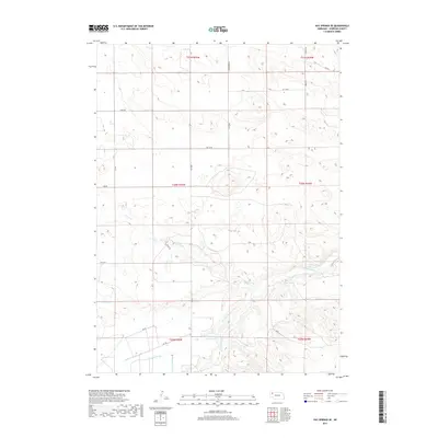
2017 Map of Hay Springs SE
USGS Topo · Published 2017About this map
The Niobrara River carves a winding path through this portion of Sheridan County, defining a landscape shaped by both natural drainage and modern agricultural engineering. The southern reaches of the map highlight a complex irrigation network essential to the Nebraska plains, featuring the Mirage Flats Reservoir 3, Peters Lateral, and the Sturgeon Lateral. These man-made watercourses, along with the Sturgeon Drain, illustrate the localized effort to manage water resources for the surrounding prairie.
Find a feature on this map
27 named features on this map. Tap any name to fly to it.
Don’t see what you’re looking for? This feature index may not catch every label — zoom into the map to look around manually.
Map Details
Editions of this 2017 Hay Springs SE Map
This is the sole edition of this map. No revisions or reprints were ever made.
Other maps of this area

1948 · Twin Lakes
USGS Topo · 1:62,500

1950 · Twin Lakes
USGS Topo · 1:62,500

1950 · Skunk Lake
USGS Topo · 1:62,500

1955 · Alliance
USGS Topo · 1:250,000

1957 · Alliance
USGS Topo · 1:250,000

1958 · Alliance
USGS Topo · 1:250,000

1960 · Hay Springs SW
USGS Topo · 1:24,000

1960 · Hay Springs SE
USGS Topo · 1:24,000

1966 · Rushville
USGS Topo · 1:24,000

1966 · Rushville SW
USGS Topo · 1:24,000