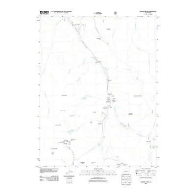
2011 Map of Hayden Peak
USGS Topo · Published 2011About this map
Ashcroft serves as a central hub in this high-altitude landscape of the Elk Mountains, where the legacy of early mining is deeply etched into the topography. The map illustrates a dense concentration of historical extraction sites, including the Puzzler Lode Mine and the Highland Tunnel Mine, along with numerous shafts like the Hope Mine and Hurricane Mine clustered near Waterfall Gulch. These sites follow the corridors of Castle Creek and Express Creek, marking the intersection of resource extraction and the difficult logistics of mountain transport. Beyond the mines, the presence of the Toklat Lodge and Elk Mountain Lodge suggests a transition toward alpine recreation and tourism. The area's physical isolation is highlighted by demanding transit points like Taylor Pass and Electric Pass, which connect the remote drainages of Conundrum Creek and Difficult Creek.
Find a feature on this map
55 named features on this map. Tap any name to fly to it.
Don’t see what you’re looking for? This feature index may not catch every label — zoom into the map to look around manually.
Map Details
Editions of this 2011 Hayden Peak Map
This is the sole edition of this map. No revisions or reprints were ever made.
Other maps of this area

1888 · Crested Butte
USGS Topo · 1:62,500

1889 · Crested Butte
USGS Topo · 1:62,500

1893 · Crested Butte
USGS Topo · 1:62,500

1893 · Aspen
USGS Topo · 1:62,500

1895 · Aspen
USGS Topo · 1:62,500

1909 · Mount Jackson
USGS Topo · 1:125,000

1911 · Mount Jackson
USGS Topo · 1:125,000

1934 · Taylor Park
USGS Topo · 1:62,500

1937 · Taylor Park
USGS Topo · 1:62,500

1956 · Montrose
USGS Topo · 1:250,000