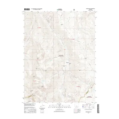
2016 Map of Hayden Peak
USGS Topo · Published 2016About this map
Ashcroft serves as a central point of interest in this high-altitude landscape of the Elk Mountains, where the 2016 terrain reflects a modern recreation-focused economy built upon much older access routes. The map detail highlights an intricate network of specialized paths such as the Conundrum Creek Trail and Electric Pass Trail that navigate the steep verticality of the White River National Forest. These trails follow the natural contours of the land, tracing the path of Castle Cr and Conundrum Cr through deep basins. Significant summits like Cathedral Peak and Castle Peak define the horizon, while high-mountain waters such as American Lake and Cathedral Lake sit in glacial bowls. The intersection of the Pitkin Co and Gunnison Co boundary line underscores the shared stewardship of this wilderness by the Gunnison National Forest.
Find a feature on this map
50 named features on this map. Tap any name to fly to it.
Don’t see what you’re looking for? This feature index may not catch every label — zoom into the map to look around manually.
Map Details
Editions of this 2016 Hayden Peak Map
This is the sole edition of this map. No revisions or reprints were ever made.
Other maps of this area

1888 · Crested Butte
USGS Topo · 1:62,500

1889 · Crested Butte
USGS Topo · 1:62,500

1893 · Crested Butte
USGS Topo · 1:62,500

1893 · Aspen
USGS Topo · 1:62,500

1895 · Aspen
USGS Topo · 1:62,500

1909 · Mount Jackson
USGS Topo · 1:125,000

1911 · Mount Jackson
USGS Topo · 1:125,000

1934 · Taylor Park
USGS Topo · 1:62,500

1937 · Taylor Park
USGS Topo · 1:62,500

1956 · Montrose
USGS Topo · 1:250,000