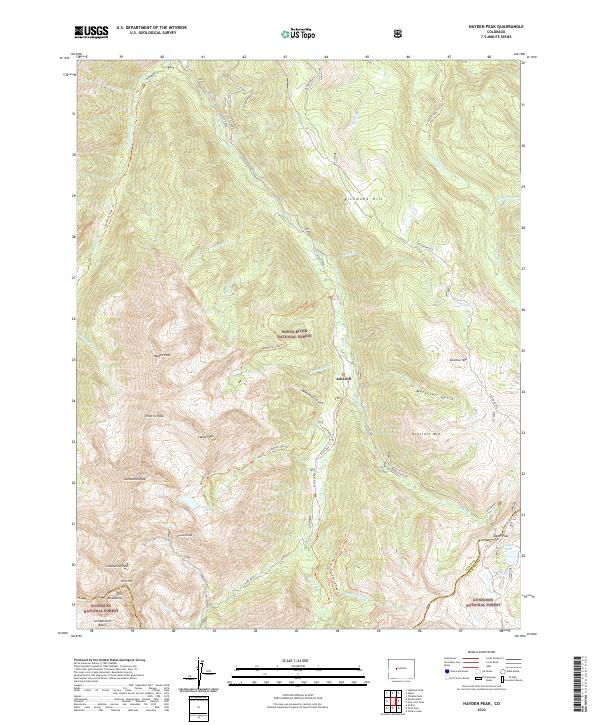
2022 Map of Hayden Peak
USGS Topo · Published 2022About this map
Ashcroft serves as a central point of reference in this high-altitude landscape of the Elk Mountains, situated where Castle Creek and Express Cr meet. This survey documents a transition from the narrow canyon floors to the high summits of Hayden Peak and Cathedral Peak. The map details a complex network of alpine routes, including the Conundrum Creek Trl and Cathedral Lake Trl, which provide access to remote glacial basins like Cumberland Basin. In the southeast, Taylor Pass and Taylor Lake mark the high-elevation boundary where Pitkin and Gunnison counties meet. The settlement pattern is defined entirely by recreational and natural landmarks within the White River National Forest and Gunnison National Forest, reflecting the modern character of this wilderness area. High-altitude crossings like Electric Pass and prominent ridges such as Richmond Hill offer a technical view of the drainage patterns for Conundrum Cr and its tributaries.
Find a feature on this map
48 named features on this map. Tap any name to fly to it.
Don’t see what you’re looking for? This feature index may not catch every label — zoom into the map to look around manually.
Map Details
Editions of this 2022 Hayden Peak Map
This is the sole edition of this map. No revisions or reprints were ever made.
Other maps of this area

1888 · Crested Butte
USGS Topo · 1:62,500

1889 · Crested Butte
USGS Topo · 1:62,500

1893 · Crested Butte
USGS Topo · 1:62,500

1893 · Aspen
USGS Topo · 1:62,500

1895 · Aspen
USGS Topo · 1:62,500

1909 · Mount Jackson
USGS Topo · 1:125,000

1911 · Mount Jackson
USGS Topo · 1:125,000

1934 · Taylor Park
USGS Topo · 1:62,500

1937 · Taylor Park
USGS Topo · 1:62,500

1956 · Montrose
USGS Topo · 1:250,000