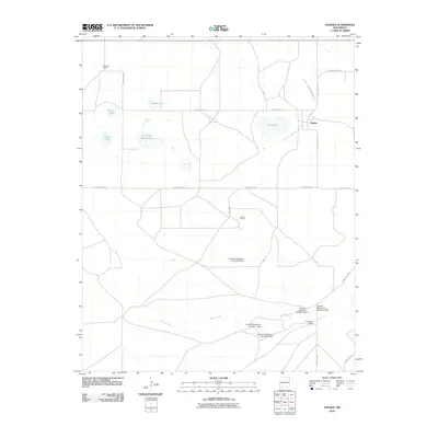
2010 Map of Hayden
USGS Topo · Published 2010About this map
Hayden serves as the focal point for this high plains landscape in Union County, where the settlement patterns are defined by large ranching operations and vital water sources. The importance of water management in this arid New Mexico region is clearly visible through an extensive series of impoundments along Monia Creek, including the Claude Hutcherson Number 1 Dam through Claude Hutcherson Number 5 Dam. These features, alongside family-named holdings such as the Heimann Ranch, Jacobs Ranch, and Hutcherson Ranch, illustrate the historical development of the local cattle industry. Natural features like Antelope Spring Lake, Shields Lake, and Horse Lake dot the territory, connected by a network of county roads like County Rd C118 and County Hwy C-114 that follow the section lines of the rural grid.
Find a feature on this map
26 named features on this map. Tap any name to fly to it.
Don’t see what you’re looking for? This feature index may not catch every label — zoom into the map to look around manually.
Map Details
Editions of this 2010 Hayden Map
This is the sole edition of this map. No revisions or reprints were ever made.
Other maps of this area

1954 · Tucumcari
USGS Topo · 1:250,000

1954 · Dalhart
USGS Topo · 1:250,000

1958 · Tucumcari
USGS Topo · 1:250,000

1958 · Dalhart
USGS Topo · 1:250,000

1962 · Dalhart
USGS Topo · 1:250,000

1966 · Skull Mesa
USGS Topo · 1:24,000

1966 · Pedernal Creek
USGS Topo · 1:24,000

1966 · Rosebud
USGS Topo · 1:24,000

1966 · Ione
USGS Topo · 1:24,000

1966 · Hayden
USGS Topo · 1:24,000