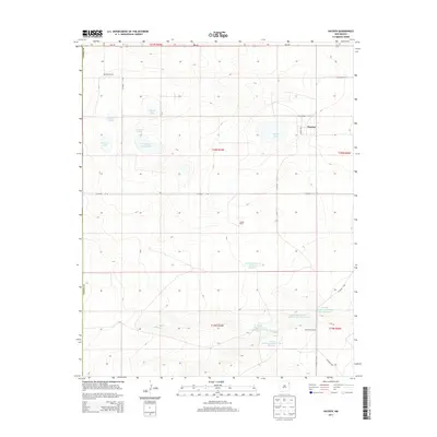
2013 Map of Hayden
USGS Topo · Published 2013About this map
Hayden serves as the quiet anchor of this ranching landscape in northeastern New Mexico, where life is defined by a series of scattered homesteads and vital water sources. The terrain is marked by established operations such as the Heimann Ranch in the north and the Jacobs Ranch further south, illustrating the large-scale cattle and agricultural heritage of Union County. The management of water in this semi-arid environment is evidenced by an extensive system of man-made and natural catchments, including Lowry Lake, Shields Lake, and the sophisticated series of reservoirs supporting the Hutcherson Ranch, such as Claude Hutcherson Number 5 Reservoir. The geography is further punctuated by Antelope Spring and Monia Cr, which thread through the plains and provide essential relief to the expansive open ranges that stretch between these historic landholdings.
Find a feature on this map
29 named features on this map. Tap any name to fly to it.
Don’t see what you’re looking for? This feature index may not catch every label — zoom into the map to look around manually.
Map Details
Editions of this 2013 Hayden Map
This is the sole edition of this map. No revisions or reprints were ever made.
Other maps of this area

1954 · Tucumcari
USGS Topo · 1:250,000

1954 · Dalhart
USGS Topo · 1:250,000

1958 · Tucumcari
USGS Topo · 1:250,000

1958 · Dalhart
USGS Topo · 1:250,000

1962 · Dalhart
USGS Topo · 1:250,000

1966 · Skull Mesa
USGS Topo · 1:24,000

1966 · Pedernal Creek
USGS Topo · 1:24,000

1966 · Rosebud
USGS Topo · 1:24,000

1966 · Ione
USGS Topo · 1:24,000

1966 · Hayden
USGS Topo · 1:24,000