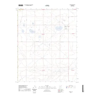
2023 Map of Hayden
USGS Topo · Published 2023About this map
Hayden serves as the primary focal point of this high-plains landscape, situated at the boundary of Union and Harding counties. The settlement is anchored by local history markers including the Hayden Cem and the Holy Trinity Catholic Cem, which sit near the intersection of Co Rd C116 and Lasso Rd. The terrain is defined by a series of small, isolated depressions that catch water, forming a chain of basins such as Shields Lake, Lowry Lake, and Antelope Spring Lake.
Find a feature on this map
32 named features on this map. Tap any name to fly to it.
Don’t see what you’re looking for? This feature index may not catch every label — zoom into the map to look around manually.
Map Details
Editions of this 2023 Hayden Map
This is the sole edition of this map. No revisions or reprints were ever made.
Other maps of this area

1954 · Tucumcari
USGS Topo · 1:250,000

1954 · Dalhart
USGS Topo · 1:250,000

1958 · Tucumcari
USGS Topo · 1:250,000

1958 · Dalhart
USGS Topo · 1:250,000

1962 · Dalhart
USGS Topo · 1:250,000

1966 · Skull Mesa
USGS Topo · 1:24,000

1966 · Pedernal Creek
USGS Topo · 1:24,000

1966 · Rosebud
USGS Topo · 1:24,000

1966 · Ione
USGS Topo · 1:24,000

1966 · Hayden
USGS Topo · 1:24,000