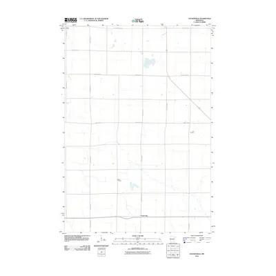
2010 Map of Haydenville
USGS Topo · Published 2010About this map
Haydenville anchors the southern portion of this Lac qui Parle County landscape, situated at the junction of several rural corridors including 40. The terrain is defined by a grid of agricultural section lines and an extensive network of county highways, including County Hwy-13 and County Hwy-5. Genealogists will find significant value in the distribution of several historic burying grounds that punctuate the rural sections, most notably Trinity Cemetery in the northwest, Lokken Cemetery near the center, and Zion Cemetery to the east. These sites, along with the diagonal path of 75, reflect the early settlement patterns and the enduring township structure of western Minnesota during the early 21st century.
Find a feature on this map
16 named features on this map. Tap any name to fly to it.
Don’t see what you’re looking for? This feature index may not catch every label — zoom into the map to look around manually.
Map Details
Editions of this 2010 Haydenville Map
This is the sole edition of this map. No revisions or reprints were ever made.
Other maps of this area

1953 · Bellingham
USGS Topo · 1:62,500

1953 · Milbank
USGS Topo · 1:250,000

1953 · Watertown
USGS Topo · 1:250,000

1958 · Milbank
USGS Topo · 1:250,000

1958 · Watertown
USGS Topo · 1:250,000

1958 · Madison
USGS Topo · 1:24,000

1958 · Correll
USGS Topo · 1:24,000

1967 · Gary NW
USGS Topo · 1:24,000
1967 · Dawson NW
USGS Topo · 1:24,000
1967 · Mount Wickham
USGS Topo · 1:24,000