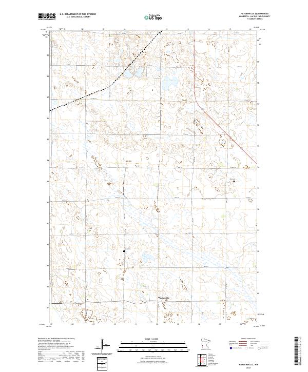
2022 Map of Haydenville
USGS Topo · Published 2022About this map
Haydenville stands as the primary namesake settlement in this western Minnesota landscape, characterized by a highly organized section line road network typical of Lac qui Parle County. The agricultural character of the region is evident in the vast grid of local thoroughfares such as 151st Ave and 310th St, which connect dispersed farmsteads across the township lines of t119n r45w and t118n r45w.
Find a feature on this map
29 named features on this map. Tap any name to fly to it.
Don’t see what you’re looking for? This feature index may not catch every label — zoom into the map to look around manually.
Map Details
Editions of this 2022 Haydenville Map
This is the sole edition of this map. No revisions or reprints were ever made.
Other maps of this area

1953 · Bellingham
USGS Topo · 1:62,500

1953 · Milbank
USGS Topo · 1:250,000

1953 · Watertown
USGS Topo · 1:250,000

1958 · Milbank
USGS Topo · 1:250,000

1958 · Watertown
USGS Topo · 1:250,000

1958 · Madison
USGS Topo · 1:24,000

1958 · Correll
USGS Topo · 1:24,000

1967 · Gary NW
USGS Topo · 1:24,000
1967 · Dawson NW
USGS Topo · 1:24,000
1967 · Mount Wickham
USGS Topo · 1:24,000