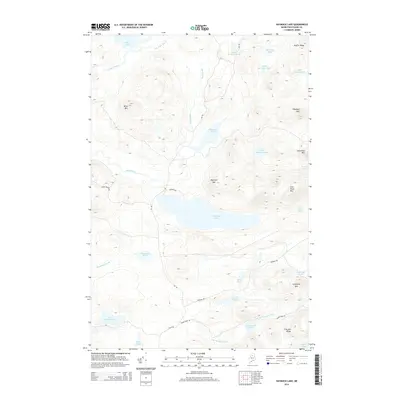
2014 Map of Haymock Lake
USGS Topo · Published 2014About this map
Haymock Lake dominates the central landscape of this remote Maine township, surrounded by a complex system of glacial ponds and mountain peaks. The northern reach is defined by the high ground of Allen Mtn and Bluffer Ridge, while the southern terrain transitions toward the E Br Penobscot River. This survey illustrates a wilderness primarily accessible via a network of timber and logging routes, including Telos Rd and Pinkham Rd, which skirt the edges of numerous water bodies like Little Pillsbury Pond and East Branch Pond. The orientation of the peaks, such as Snowshoe Mtn and Haymock Mtn, alongside the scattered drainage of Smith Brook and Woodman Brook, highlights the drainage patterns critical to the region's historic logging industry and watershed management.
Find a feature on this map
37 named features on this map. Tap any name to fly to it.
Don’t see what you’re looking for? This feature index may not catch every label — zoom into the map to look around manually.
Map Details
Editions of this 2014 Haymock Lake Map
This is the sole edition of this map. No revisions or reprints were ever made.
Other maps of this area

1953 · Telos Lake
USGS Topo · 1:62,500

1954 · Chesuncook
USGS Topo · 1:62,500

1954 · Spider Lake
USGS Topo · 1:62,500

1954 · Churchill Lake
USGS Topo · 1:62,500

1954 · Presque Isle
USGS Topo · 1:250,000

1957 · Telos Lake
USGS Topo · 1:62,500

1958 · Presque Isle
USGS Topo · 1:250,000

1958 · Chesuncook
USGS Topo · 1:62,500

1960 · Presque Isle
USGS Topo · 1:250,000

1961 · Spider Lake
USGS Topo · 1:62,500