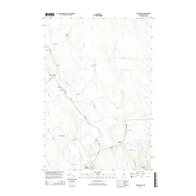
2014 Map of Haynesville
USGS Topo · Published 2014About this map
The Mattawamkeag River winds through this section of Aroostook County, anchoring the small settlements of Haynesville and Selden. The landscape is defined by its watercourses and modest elevations like Mitchel Mtn and Peekaboo Mtn, reflecting a rural Maine character where transport followed the river valleys. A series of family and community burial grounds, including Blaisdell Cem, Karnes Gellerson Cem, and Tuck Cem, are situated along the primary roads that parallel the riverbanks.
Find a feature on this map
50 named features on this map. Tap any name to fly to it.
Don’t see what you’re looking for? This feature index may not catch every label — zoom into the map to look around manually.
Map Details
Editions of this 2014 Haynesville Map
This is the sole edition of this map. No revisions or reprints were ever made.
Other maps of this area

1940 · Danforth
USGS Topo · 1:62,500

1940 · Amity
USGS Topo · 1:62,500

1941 · Danforth
USGS Topo · 1:62,500

1941 · Amity
USGS Topo · 1:62,500

1941 · Mattawamkeag Lake
USGS Topo · 1:62,500

1941 · Wytopitlock
USGS Topo · 1:62,500

1943 · Danforth
USGS Topo · 1:62,500

1943 · Wytopitlock
USGS Topo · 1:62,500

1943 · Amity
USGS Topo · 1:62,500

1943 · Mattawamkeag Lake
USGS Topo · 1:62,500