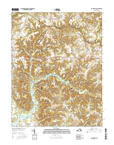
2016 Map of Haynesville
USGS Topo · Published 2016About this map
Totuskey Creek and its many winding tributaries, including Little Totuskey Creek and Marshy Swamp, define the low-lying landscape of the Northern Neck in this 2016 survey. The map records a series of established settlements and family-named landmarks that speak to the long agricultural and milling history of the region. Distinctive features like Garlands Millpond and Hogans Millpond reflect the historical reliance on local waterways for industry, while the naming of Rich Neck and Richmond Hill suggests the importance of elevated ground in this marshy environment.
Find a feature on this map
99 named features on this map. Tap any name to fly to it.
Don’t see what you’re looking for? This feature index may not catch every label — zoom into the map to look around manually.
Map Details
Editions of this 2016 Haynesville Map
This is the sole edition of this map. No revisions or reprints were ever made.
Other maps of this area

1892 · Piney Point
USGS Topo · 1:62,500

1892 · Montross
USGS Topo · 1:62,500

1894 · Piney Point
USGS Topo · 1:62,500

1895 · Nomini
USGS Topo · 1:125,000

1895 · Piney Point
USGS Topo · 1:62,500

1895 · Montross
USGS Topo · 1:62,500

1898 · Nomini
USGS Topo · 1:125,000

1901 · Piney Point
USGS Topo · 1:62,500

1917 · Morattico
USGS Topo · 1:62,500

1918 · Tappahannock
USGS Topo · 1:62,500