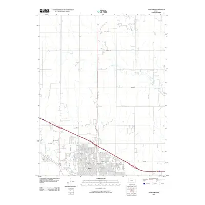
2010 Map of Hays North
USGS Topo · Published 2010About this map
The city of Hays anchors the southern portion of this landscape, showing a dense residential grid that transitions abruptly into the agricultural plains of Ellis County. In this section of the High Plains, water courses like North Fork Big Creek and Chetolah Creek carve subtle paths through the rectilinear section lines. These drainage patterns influenced early settlement and road placement, seen in the winding routes of local ways compared to the strict cardinal orientation of Locust Grove Rd and Hopewell Rd. Local history is preserved at the Saint Joseph Cemetery and Mount Allen Cemetery, located on the city's edge. Modern logistical infrastructure is also evident, notably the Saint Anthony Hospital Airport and major thoroughfares like Mopar Dr, which highlight the city's role as a regional hub for healthcare and commerce in western Kansas.
Find a feature on this map
59 named features on this map. Tap any name to fly to it.
Don’t see what you’re looking for? This feature index may not catch every label — zoom into the map to look around manually.
Map Details
Editions of this 2010 Hays North Map
This is the sole edition of this map. No revisions or reprints were ever made.
Other maps of this area

1896 · Hays
USGS Topo · 1:125,000

1896 · Plainville
USGS Topo · 1:125,000

1955 · Great Bend
USGS Topo · 1:250,000

1955 · Beloit
USGS Topo · 1:250,000

1957 · Great Bend
USGS Topo · 1:250,000

1958 · Great Bend
USGS Topo · 1:250,000

1959 · Beloit
USGS Topo · 1:250,000

1961 · Yocemento
USGS Topo · 1:24,000

1961 · Hays South
USGS Topo · 1:24,000

1961 · Catharine
USGS Topo · 1:24,000