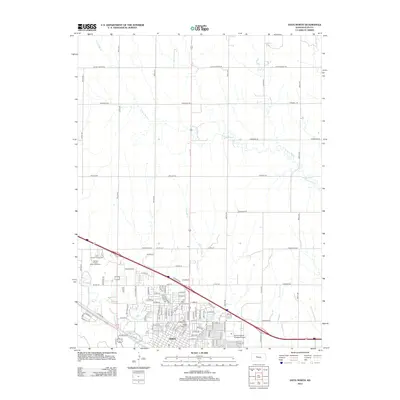
2012 Map of Hays North
USGS Topo · Published 2012About this map
Hays spreads across the southern portion of this high plains landscape, defined by a structured grid of residential streets and a network of agricultural roads that stretch north toward the N Fork Big Cr. This 2012 survey documents the city's suburban footprint as it pushes toward the Ellis County Fairgrounds and the Rolling Plains Motor Speedway in the west. The drainage of Chetolah Cr cuts through the center of town, creating a natural break in the otherwise orderly expansion of neighborhoods near the Saint Joseph Cem and Mount Allen Cem. Outside the city limits, the landscape quickly transitions to large-scale agriculture, bisected by long-established routes like Locust Grove Rd and Hopewell Rd, which serve the rural homesteads and feedlots of northern Ellis County.
Find a feature on this map
54 named features on this map. Tap any name to fly to it.
Don’t see what you’re looking for? This feature index may not catch every label — zoom into the map to look around manually.
Map Details
Editions of this 2012 Hays North Map
This is the sole edition of this map. No revisions or reprints were ever made.
Other maps of this area

1896 · Hays
USGS Topo · 1:125,000

1896 · Plainville
USGS Topo · 1:125,000

1955 · Great Bend
USGS Topo · 1:250,000

1955 · Beloit
USGS Topo · 1:250,000

1957 · Great Bend
USGS Topo · 1:250,000

1958 · Great Bend
USGS Topo · 1:250,000

1959 · Beloit
USGS Topo · 1:250,000

1961 · Yocemento
USGS Topo · 1:24,000

1961 · Hays South
USGS Topo · 1:24,000

1961 · Catharine
USGS Topo · 1:24,000