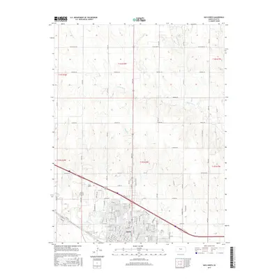
2015 Map of Hays North
USGS Topo · Published 2015About this map
The growing northern periphery of Hays is captured in this mid-2010s survey, showing the transition from dense urban street grids to the open section-line landscape of Ellis County. The city’s northern expansion is evident as residential developments and arterial streets like W 32nd St and Barclay Dr push toward the Interstate 70 corridor. Local heritage is grounded in significant sites like Saint Joseph Cem and Mount Allen Cem, which sit near the heart of the settlement area south of the interstate.
Find a feature on this map
63 named features on this map. Tap any name to fly to it.
Don’t see what you’re looking for? This feature index may not catch every label — zoom into the map to look around manually.
Map Details
Editions of this 2015 Hays North Map
This is the sole edition of this map. No revisions or reprints were ever made.
Other maps of this area

1896 · Hays
USGS Topo · 1:125,000

1896 · Plainville
USGS Topo · 1:125,000

1955 · Great Bend
USGS Topo · 1:250,000

1955 · Beloit
USGS Topo · 1:250,000

1957 · Great Bend
USGS Topo · 1:250,000

1958 · Great Bend
USGS Topo · 1:250,000

1959 · Beloit
USGS Topo · 1:250,000

1961 · Yocemento
USGS Topo · 1:24,000

1961 · Hays South
USGS Topo · 1:24,000

1961 · Catharine
USGS Topo · 1:24,000