
1962 Map of Haystack Butte
USGS Topo · Published 1964About this map
Haystack Butte rises as a prominent landmark in this Liberty County landscape, surveyed in the early 1960s. The map illustrates a high-plains terrain defined by significant elevation changes, from the heights of Mount Royal and Mount Brown down to the winding course of Eagle Creek and Horse Creek. Settlement is concentrated around family-run operations such as Hofer Ranch, B Oswood Ranch, and Forseth Ranch, reflecting the enduring ranching character of the region.
Find a feature on this map
35 named features on this map. Tap any name to fly to it.
Don’t see what you’re looking for? This feature index may not catch every label — zoom into the map to look around manually.
Map Details
Editions of this 1962 Haystack Butte Map
This is the sole edition of this map. No revisions or reprints were ever made.
Other maps of this area

1954 · Shelby
USGS Topo · 1:250,000

1958 · Shelby
USGS Topo · 1:250,000
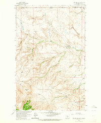
1962 · Bingham Lake
USGS Topo · 1:24,000

1962 · Lakey Ranch
USGS Topo · 1:24,000

1962 · Whitlash
USGS Topo · 1:24,000

1962 · Berkholder Reservoir
USGS Topo · 1:24,000

1962 · Blair Ranch
USGS Topo · 1:24,000
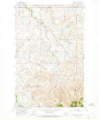
1962 · Hawley Hill
USGS Topo · 1:24,000

1962 · Mount Lebanon
USGS Topo · 1:24,000

1962 · Grassy Butte
USGS Topo · 1:24,000