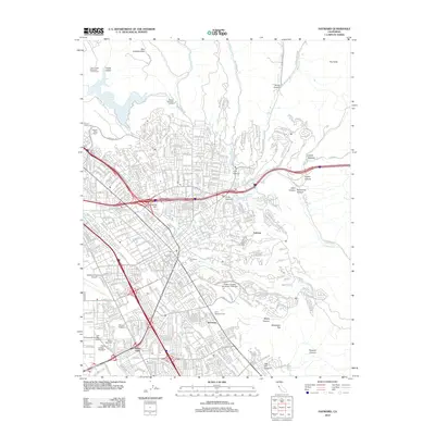
2012 Map of Hayward
USGS Topo · Published 2012About this map
San Leandro Hills define the eastern backdrop of this urbanized corridor, where the residential expansion of Fairview and Sorenson meets the steep drainage systems of the East Bay. The landscape is marked by a significant concentration of local heritage sites, including Holy Sepulchre Cem, All Saints Cem, and the Mount Eden Cem, illustrating the long-standing community centers of the region. Educational and infrastructure hubs are prominent, anchored by the sprawling campus of California State University - East Bay and Chabot College, alongside the Hayward Executive Airport. While much of the land is developed, the map captures the transition into more traditional ranching and canyon lands to the east, such as Cull Canyon and Eden Canyon, where numerous creeks like San Lorenzo Cr and Palomares Cr descend toward the bay.
Find a feature on this map
54 named features on this map. Tap any name to fly to it.
Don’t see what you’re looking for? This feature index may not catch every label — zoom into the map to look around manually.
Map Details
Editions of this 2012 Hayward Map
This is the sole edition of this map. No revisions or reprints were ever made.
Other maps of this area

1896 · Mt. Diablo
USGS Topo · 1:62,500

1897 · Concord
USGS Topo · 1:62,500

1898 · Mt. Diablo
USGS Topo · 1:62,500

1899 · Haywards
USGS Topo · 1:62,500

1906 · Pleasanton
USGS Topo · 1:62,500

1915 · Haywards
USGS Topo · 1:62,500

1915 · Concord
USGS Topo · 1:62,500

1941 · Pleasanton
USGS Topo · 1:62,500

1942 · Concord
USGS Topo · 1:62,500

1942 · Hayward
USGS Topo · 1:62,500