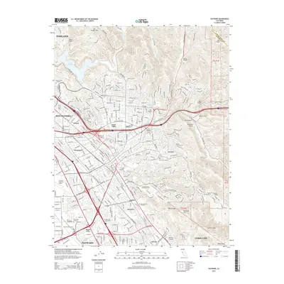
2015 Map of Hayward
USGS Topo · Published 2015About this map
The eastern foothills of the Diablo Range meet the dense urban fabric of the East Bay in this modern survey of Alameda County. This landscape is defined by the transition from steep canyons like Cull Canyon and Dublin Canyon into the coastal plain settlements of Hayward, San Leandro, and Union City. Significant institutional footprints are visible, including the sprawling campus of California State University-East Bay and the specialized medical and aviation hubs at Life Chiropractic College-West and the Hayward Executive Airport.
Find a feature on this map
59 named features on this map. Tap any name to fly to it.
Don’t see what you’re looking for? This feature index may not catch every label — zoom into the map to look around manually.
Map Details
Editions of this 2015 Hayward Map
This is the sole edition of this map. No revisions or reprints were ever made.
Other maps of this area

1896 · Mt. Diablo
USGS Topo · 1:62,500

1897 · Concord
USGS Topo · 1:62,500

1898 · Mt. Diablo
USGS Topo · 1:62,500

1899 · Haywards
USGS Topo · 1:62,500

1906 · Pleasanton
USGS Topo · 1:62,500

1915 · Haywards
USGS Topo · 1:62,500

1915 · Concord
USGS Topo · 1:62,500

1941 · Pleasanton
USGS Topo · 1:62,500

1942 · Concord
USGS Topo · 1:62,500

1942 · Hayward
USGS Topo · 1:62,500