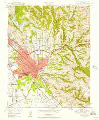
1947 Map of Hayward
USGS Topo · Published 1957About this map
Hayward and the surrounding East Bay communities are shown here in a period of significant post-war transition. The grid of San Lorenzo Village and the burgeoning residential tracts of Castro Valley and Ashland illustrate the rapid suburbanization of Arroyo de la Alameda following 1946 aerial surveys. These growing neighborhoods are framed by the sharp contrast of the San Leandro Hills and the steep terrain of The Knife to the east.
Find a feature on this map
63 named features on this map. Tap any name to fly to it.
Don’t see what you’re looking for? This feature index may not catch every label — zoom into the map to look around manually.
Map Details
Editions of this 1947 Hayward Map
This is the sole edition of this map. No revisions or reprints were ever made.
Other maps of this area

1896 · Mt. Diablo
USGS Topo · 1:62,500

1897 · Concord
USGS Topo · 1:62,500

1898 · Mt. Diablo
USGS Topo · 1:62,500

1899 · Haywards
USGS Topo · 1:62,500

1906 · Pleasanton
USGS Topo · 1:62,500

1915 · Haywards
USGS Topo · 1:62,500

1915 · Concord
USGS Topo · 1:62,500

1941 · Pleasanton
USGS Topo · 1:62,500

1942 · Concord
USGS Topo · 1:62,500

1942 · Hayward
USGS Topo · 1:62,500