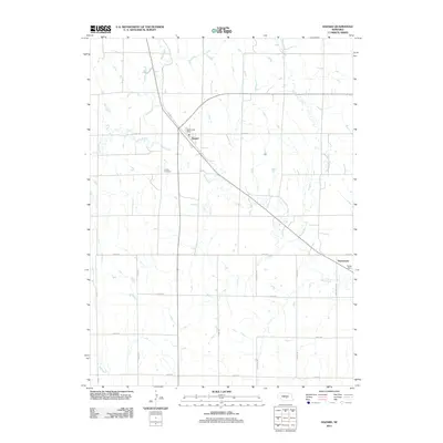
2011 Map of Hazard
USGS Topo · Published 2011About this map
Hazard and the nearby community of Sweetwater anchor this 2011 survey of Sherman County, Nebraska. The landscape is defined by the winding course of Mud Creek, which flows diagonally across the terrain, joined by tributaries such as Spring Branch and the vividly named Bloody Run Creek. The map provides specific locations for local landmarks vital to genealogical research, including the Hazard Post Office and the Hazard Cemetery situated just south of the main settlement. Further downstream near the eastern border, Yanda Dam regulates the water flow where the creek approaches Sweetwater. The underlying grid of rural routes, from Grove Rd to Sweetwater Rd, reflects the organized agricultural development of the region, while the riparian corridors of Dry Creek and its neighbors indicate the natural drainage patterns that have shaped local farm boundaries and settlement placement for generations.
Find a feature on this map
22 named features on this map. Tap any name to fly to it.
Don’t see what you’re looking for? This feature index may not catch every label — zoom into the map to look around manually.
Map Details
Editions of this 2011 Hazard Map
This is the sole edition of this map. No revisions or reprints were ever made.
Other maps of this area

1896 · Kearney
USGS Topo · 1:125,000

1896 · Wood River
USGS Topo · 1:125,000

1899 · Loup
USGS Topo · 1:125,000

1951 · Litchfield SW
USGS Topo · 1:24,000

1951 · Litchfield NE
USGS Topo · 1:24,000

1951 · Hazard
USGS Topo · 1:24,000

1951 · Litchfield
USGS Topo · 1:24,000

1953 · Ravenna NW
USGS Topo · 1:24,000

1953 · Ravenna
USGS Topo · 1:24,000

1955 · Broken Bow
USGS Topo · 1:250,000