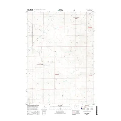
2015 Map of Hazelton
USGS Topo · Published 2015About this map
Bighorn National Forest defines the rugged, high-altitude character of this Johnson County landscape, where the headwaters of numerous creeks begin their descent. Hazelton sits at a critical junction of mountain travel, marked by the historical path of Old Stage Stop Rd and the namesake Hazelton Rd. The hydrology of the area is complex, featuring the winding upper reaches of Middle Fork Crazy Woman Cr and Poison Cr, alongside man-made water management like the Hazelton Ditch. Higher elevations are punctuated by landmarks such as Bald Hill and the open expanse of Bull Camp Park. This map serves as a vital record for tracing early transportation routes through the Wyoming wilderness, showing how the original stage roads aligned with the natural drainage basins of Doyle Cr and Gardner Cr.
Find a feature on this map
24 named features on this map. Tap any name to fly to it.
Don’t see what you’re looking for? This feature index may not catch every label — zoom into the map to look around manually.
Map Details
Editions of this 2015 Hazelton Map
This is the sole edition of this map. No revisions or reprints were ever made.
Other maps of this area

1899 · Cloud peak
USGS Topo · 1:125,000

1900 · Fort McKinney
USGS Topo · 1:125,000

1901 · Cloud Peak
USGS Topo · 1:125,000

1903 · Fort McKinney
USGS Topo · 1:125,000

1955 · Sheridan
USGS Topo · 1:250,000

1955 · Arminto
USGS Topo · 1:250,000

1958 · Sheridan
USGS Topo · 1:250,000

1958 · Arminto
USGS Topo · 1:250,000

1962 · Sheridan
USGS Topo · 1:250,000

1962 · Arminto
USGS Topo · 1:250,000