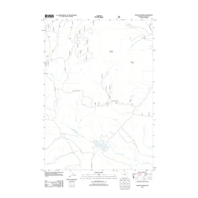
2012 Map of Hazelton Peak
USGS Topo · Published 2012About this map
Hazelton Peak and the nearby Hazelton Pyramid dominate this high-altitude landscape in the Bighorn Mountains. The hydrology of the region is defined by the headwaters of the N Fork Powder River and its various tributaries, including Twin Cr and Bull Cr. A significant focal point in the southern portion of the quadrangle is the Dullknife Reservoir, which serves as a major water storage feature in this high-country drainage basin.
Find a feature on this map
16 named features on this map. Tap any name to fly to it.
Don’t see what you’re looking for? This feature index may not catch every label — zoom into the map to look around manually.
Map Details
Editions of this 2012 Hazelton Peak Map
This is the sole edition of this map. No revisions or reprints were ever made.
Other maps of this area

1899 · Cloud peak
USGS Topo · 1:125,000

1900 · Fort McKinney
USGS Topo · 1:125,000

1901 · Cloud Peak
USGS Topo · 1:125,000

1903 · Fort McKinney
USGS Topo · 1:125,000

1955 · Sheridan
USGS Topo · 1:250,000

1955 · Arminto
USGS Topo · 1:250,000

1958 · Sheridan
USGS Topo · 1:250,000

1958 · Arminto
USGS Topo · 1:250,000

1962 · Sheridan
USGS Topo · 1:250,000

1962 · Arminto
USGS Topo · 1:250,000