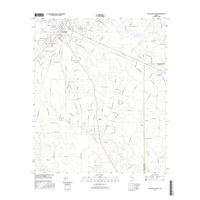
2017 Map of Hazlehurst South
USGS Topo · Published 2017About this map
Hazlehurst serves as the primary urban hub on this southern Georgia landscape, where the town's dense street grid, including W Jefferson St and S Cromartie St, gives way to a network of rural routes and farmland. The terrain is defined by the winding paths of Big Satilla Creek and Little Satilla Cr, which drain the low-lying areas alongside Gully Cr and Hurricane Cr. The transition from the settled center of Hazlehurst to the outlying township of Graham is marked by numerous family-named roads and agricultural properties. Local history is anchored by sites like Bazemore Cem and Ebenezer Cem, while the county boundary between Jeff Davis Co and Appling Co runs north-to-south through the eastern portion of the survey. The mapping of Burketts Ferry Rd and Old Alma Rd highlights long-standing transportation corridors that have shaped the region's development.
Find a feature on this map
168 named features on this map. Tap any name to fly to it.
Don’t see what you’re looking for? This feature index may not catch every label — zoom into the map to look around manually.
Map Details
Editions of this 2017 Hazlehurst South Map
This is the sole edition of this map. No revisions or reprints were ever made.
Other maps of this area

1953 · Waycross
USGS Topo · 1:250,000

1958 · Waycross
USGS Topo · 1:250,000

1970 · Pine Grove
USGS Topo · 1:24,000
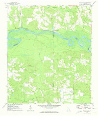
1970 · Grays Landing
USGS Topo · 1:24,000

1971 · Nicholls NE
USGS Topo · 1:24,000

1971 · Roper
USGS Topo · 1:24,000
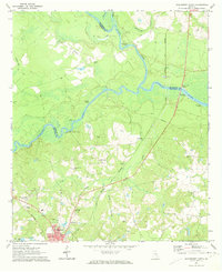
1971 · Hazlehurst North
USGS Topo · 1:24,000

1971 · Alma NW
USGS Topo · 1:24,000

1971 · Hazlehurst South
USGS Topo · 1:24,000

1971 · Denton
USGS Topo · 1:24,000