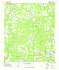
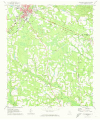
1971 Map of Denton
USGS Topo · Published 1974About this map
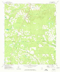
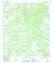
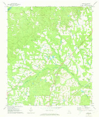
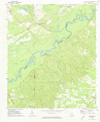
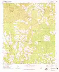
Denton serves as the primary hub of this South Georgia landscape, situated where the Central of Georgia railroad cuts a straight diagonal across the terrain. The map captures a rural environment defined by its water systems and early 1970s land use, with small settlements like Brooker and Lehigh marking the points of human activity. The topography is influenced by a dense network of waterways, including Whitehead Creek, Hog Creek, and the prominent Hurricane Creek, which drain the low-lying areas. Cultural sites such as Wilcox Cemetery and local congregations like Burkett Church and Pineview Church provide critical anchor points for genealogists and local historians. This era shows the clear demarcation between Jeff Davis and Coffee County, illustrating the jurisdictional boundaries that shaped the region's development.
Find a feature on this map
16 named features on this map. Tap any name to fly to it.
Don’t see what you’re looking for? This feature index may not catch every label — zoom into the map to look around manually.
Map Details
Editions of this 1971 Denton Map
2 editions found
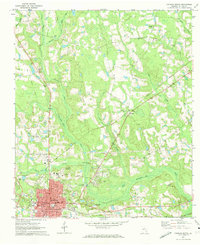
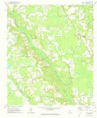
Other maps of this area

1953 · Waycross
USGS Topo · 1:250,000

1958 · Waycross
USGS Topo · 1:250,000
1971 · Douglas North
USGS Topo · 1:24,000
1971 · Nicholls NE
USGS Topo · 1:24,000
1971 · Nicholls
USGS Topo · 1:24,000
1971 · Roper
USGS Topo · 1:24,000
1971 · Snipesville
USGS Topo · 1:24,000
1971 · Broxton NE
USGS Topo · 1:24,000
1971 · Hazlehurst South
USGS Topo · 1:24,000
1971 · Sessoms
USGS Topo · 1:24,000