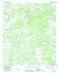
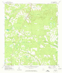
1971 Map of Denton
USGS Topo · Published 1988About this map
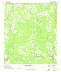
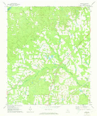
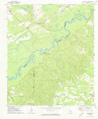
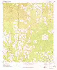
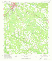
Denton serves as the focal point of this rural landscape where Jeff Davis, Coffee, and Bacon Counties meet. The terrain is defined by a complex network of waterways, most notably Hurricane Creek and its tributary, Little Hurricane Creek, which carve through the woodland and agricultural fields. To the south, the settlement of Lehigh sits near an extensive area marked by an indefinite boundary, suggesting a landscape of seasonal wetlands or shifting drainage patterns.
Find a feature on this map
15 named features on this map. Tap any name to fly to it.
Don’t see what you’re looking for? This feature index may not catch every label — zoom into the map to look around manually.
Map Details
Editions of this 1971 Denton Map
2 editions found
Other maps of this area

1953 · Waycross
USGS Topo · 1:250,000

1958 · Waycross
USGS Topo · 1:250,000
1971 · Douglas North
USGS Topo · 1:24,000
1971 · Nicholls NE
USGS Topo · 1:24,000
1971 · Nicholls
USGS Topo · 1:24,000
1971 · Roper
USGS Topo · 1:24,000
1971 · Snipesville
USGS Topo · 1:24,000
1971 · Broxton NE
USGS Topo · 1:24,000
1971 · Hazlehurst South
USGS Topo · 1:24,000
1971 · Sessoms
USGS Topo · 1:24,000