
1971 Map of Snipesville
USGS Topo · Published 1974About this map
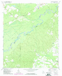
The Ocmulgee River snakes along the northern and western reaches of this South Georgia landscape, defining the jagged boundaries between Telfair, Jeff Davis, and Coffee Counties. During this era, the river's bank features a series of named landings, including Burket Ferry Landing, Haddock Landing, Rocky Hammock Landing, and Flat Tub Landing, which indicate a long history of river-based transit and local commerce before modern infrastructure dominated.
Find a feature on this map
22 named features on this map. Tap any name to fly to it.
Don’t see what you’re looking for? This feature index may not catch every label — zoom into the map to look around manually.
Map Details
Editions of this 1971 Snipesville Map
2 editions found
Other maps of this area

1953 · Waycross
USGS Topo · 1:250,000

1958 · Waycross
USGS Topo · 1:250,000

1971 · Roper
USGS Topo · 1:24,000

1971 · Jacksonville NE
USGS Topo · 1:24,000

1971 · Broxton NE
USGS Topo · 1:24,000

1971 · Denton
USGS Topo · 1:24,000
1971 · Lumber City
USGS Topo · 1:24,000

1972 · Broxton North
USGS Topo · 1:24,000

1972 · Jacksonville
USGS Topo · 1:24,000
1972 · Workmore
USGS Topo · 1:24,000