
1971 Map of Jacksonville NE
USGS Topo · Published 1974About this map
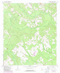
Cedarpark serves as a central point of settlement in this rural corner of Telfair County, situated amongst a network of creeks and small country congregations. The landscape is defined by the drainage of Turnpike Creek and Sugar Creek, which wind through the terrain. Evidence of the area's social and community fabric is prominent in the numerous local landmarks, including James Chapel, Mims Ch, and Dodge Chapel. These sites, alongside several family burial grounds like Silver Cem and Powell Cem, provide important geographic markers for those studying the genealogical history of the region.
Find a feature on this map
19 named features on this map. Tap any name to fly to it.
Don’t see what you’re looking for? This feature index may not catch every label — zoom into the map to look around manually.
Map Details
Editions of this 1971 Jacksonville NE Map
2 editions found
Other maps of this area

1953 · Waycross
USGS Topo · 1:250,000

1957 · Macon
USGS Topo · 1:250,000

1958 · Macon
USGS Topo · 1:250,000

1958 · Waycross
USGS Topo · 1:250,000

1964 · Macon
USGS Topo · 1:250,000

1970 · Scotland
USGS Topo · 1:24,000

1970 · Jordan
USGS Topo · 1:24,000

1971 · Roper
USGS Topo · 1:24,000

1971 · Snipesville
USGS Topo · 1:24,000
1971 · Lumber City
USGS Topo · 1:24,000