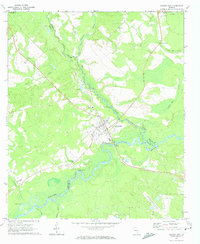
1971 Map of Lumber City
USGS Topo · Published 1974About this map
Lumber City sits at a historic crossroads of rail and river in south-central Georgia, where the Southern Railway bridge spans the winding Ocmulgee River. This early 1970s landscape reveals the town's reliance on both its water and timber heritage, with the Lumber City Landing and Murdock McRaes Landing marking key points along the riverbanks. The settlement is anchored by local institutions like Ocmulgee Academy and surrounded by numerous family and community landmarks, including McArthur, Cedar Grove, and Riverside cemeteries.
Find a feature on this map
30 named features on this map. Tap any name to fly to it.
Don’t see what you’re looking for? This feature index may not catch every label — zoom into the map to look around manually.
Map Details
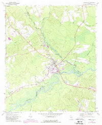
Editions of this 1971 Lumber City Map
2 editions found
Other maps of this area

1953 · Waycross
USGS Topo · 1:250,000

1957 · Macon
USGS Topo · 1:250,000

1958 · Macon
USGS Topo · 1:250,000

1958 · Waycross
USGS Topo · 1:250,000

1964 · Macon
USGS Topo · 1:250,000

1970 · Scotland
USGS Topo · 1:24,000

1970 · Uvalda
USGS Topo · 1:24,000

1970 · Jordan
USGS Topo · 1:24,000

1971 · Roper
USGS Topo · 1:24,000

1971 · Jacksonville NE
USGS Topo · 1:24,000