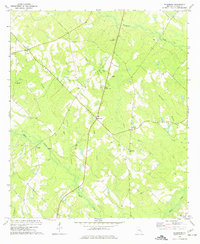
1972 Map of Jacksonville
USGS Topo · Published 1975About this map
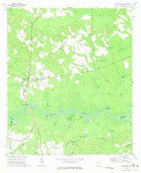
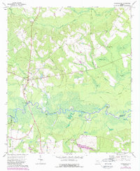
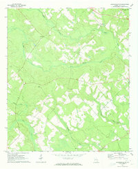
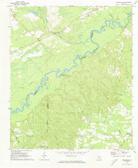
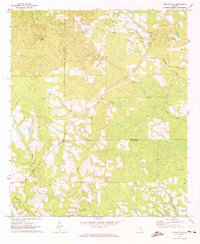
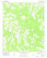
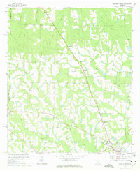
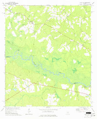
The Ocmulgee River winds through the southern portion of this region, creating a complex wetland environment marked by numerous oxbows and backwaters such as Joyce Lake, Spar Lake, and Barr Lake. This river system forms the boundary between Telfair and Coffee counties, with the Jacksonville Ferry Bridge providing a vital crossing point south of the community of Jacksonville. The landscape is characterized by its numerous "bays"—shallow, oval-shaped depressions like Buzzard Bay and Dan Bland Bay—which punctuate the forested terrain between the river and the northern creeks.
Find a feature on this map
43 named features on this map. Tap any name to fly to it.
Don’t see what you’re looking for? This feature index may not catch every label — zoom into the map to look around manually.
Map Details
Editions of this 1972 Jacksonville Map
2 editions found
Other maps of this area

1953 · Waycross
USGS Topo · 1:250,000

1958 · Waycross
USGS Topo · 1:250,000
1971 · Jacksonville NE
USGS Topo · 1:24,000
1971 · Snipesville
USGS Topo · 1:24,000
1971 · Broxton NE
USGS Topo · 1:24,000
1972 · Cooks Still
USGS Topo · 1:24,000
1972 · Broxton North
USGS Topo · 1:24,000
1972 · China Hill
USGS Topo · 1:24,000
1972 · Workmore
USGS Topo · 1:24,000
1977 · Osierfield
USGS Topo · 1:24,000