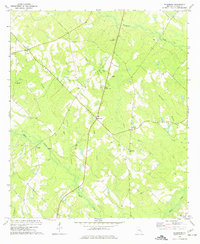
1972 Map of Workmore
USGS Topo · Published 1977About this map
The settlement of Workmore and the surrounding Telfair County landscape are captured here as they appeared in the early 1970s. The area is defined by a network of rural churches and family-linked cemeteries, including Frances Chapel, Macedonia Ch, and the Mc Lean Cem. A clear pattern of agricultural life is evident, with fine red dashed lines indicating field and fence lines interpreted from 1971 aerial photography. The terrain is drained by several watercourses such as Horse Creek, Boggy Branch, and Turnpike Creek, which likely influenced the early road and settlement patterns of the region. Notable landmarks from the era include the Telfair Lookout Tower and the small community at Cobbville. This survey provides a precise record of rural Georgia’s infrastructure and landmarks before decades of modernization, making it a valuable tool for genealogists and local historians.
Find a feature on this map
25 named features on this map. Tap any name to fly to it.
Don’t see what you’re looking for? This feature index may not catch every label — zoom into the map to look around manually.
Map Details
Editions of this 1972 Workmore Map
This is the sole edition of this map. No revisions or reprints were ever made.
Other maps of this area

1953 · Waycross
USGS Topo · 1:250,000

1957 · Macon
USGS Topo · 1:250,000

1958 · Macon
USGS Topo · 1:250,000

1958 · Waycross
USGS Topo · 1:250,000

1964 · Macon
USGS Topo · 1:250,000

1970 · Scotland
USGS Topo · 1:24,000

1971 · Jacksonville NE
USGS Topo · 1:24,000

1971 · Snipesville
USGS Topo · 1:24,000

1972 · Cooks Still
USGS Topo · 1:24,000

1972 · Jacksonville
USGS Topo · 1:24,000