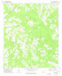
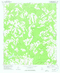
1972 Map of Cooks Still
USGS Topo · Published 1975About this map
The rural border of Dodge and Telfair Counties is defined by a landscape of creeks and small religious congregations in the early 1970s. The settlement at Cooks Still and the nearby Cook Chapel sit at the center of a network of drainage ways including Horse Creek, Cat Creek, and Alligator Creek. This area was historically served by local institutions like the West Telfair Academy, a significant landmark for those tracing the educational history of the county. The map shows a high density of country churches, such as Mt Zion Ch, Siloam Ch, and Rockwell Ch, which often served as the primary social and community hubs for the surrounding farmsteads. Smaller-scale industry is represented by a Sandpit, while family names are preserved in locations like Pearson Cem and Rebecca Ch. The terrain is marked by numerous unnamed trails and a Jeep Trail that snake through the wooded bottomlands along Little Alligator Creek.
Find a feature on this map
23 named features on this map. Tap any name to fly to it.
Don’t see what you’re looking for? This feature index may not catch every label — zoom into the map to look around manually.
Map Details
Editions of this 1972 Cooks Still Map
This is the sole edition of this map. No revisions or reprints were ever made.
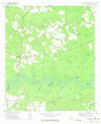
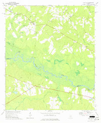
Other maps of this area

1953 · Waycross
USGS Topo · 1:250,000

1957 · Macon
USGS Topo · 1:250,000

1958 · Macon
USGS Topo · 1:250,000

1958 · Waycross
USGS Topo · 1:250,000

1964 · Macon
USGS Topo · 1:250,000
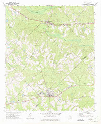
1972 · Jacksonville
USGS Topo · 1:24,000
1972 · Milan
USGS Topo · 1:24,000
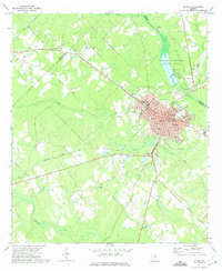
1972 · Mc Rae
USGS Topo · 1:24,000
1972 · Lake Cypress
USGS Topo · 1:24,000
1972 · China Hill
USGS Topo · 1:24,000