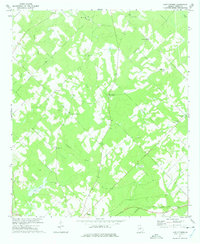
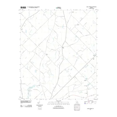
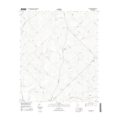
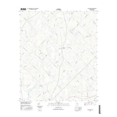
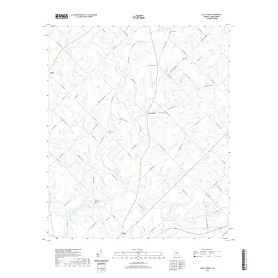
1972 Map of Lake Cypress
USGS Topo · Published 1975About this map
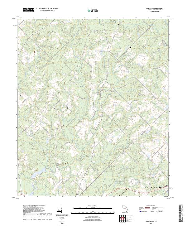
Rhine sits at the southern edge of this Dodge County landscape, where the Seaboard Coast Line railroad tracks cut a straight path across the lower portion of the sheet. The terrain is defined by the winding course of the Little Cypress River and the meandering Crooked Creek, which feed into the namesake Lake Cypress. This rural area is densely populated with small country churches and family burial grounds, suggesting a long-standing community structure centered around places like Benevolence Ch and Isham Springs Ch.
Find a feature on this map
25 named features on this map. Tap any name to fly to it.
Don’t see what you’re looking for? This feature index may not catch every label — zoom into the map to look around manually.
Map Details
Editions of this 1972 Lake Cypress Map
This is the sole edition of this map. No revisions or reprints were ever made.
Historical Maps of Rhine Through Time
24 maps found
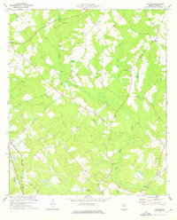
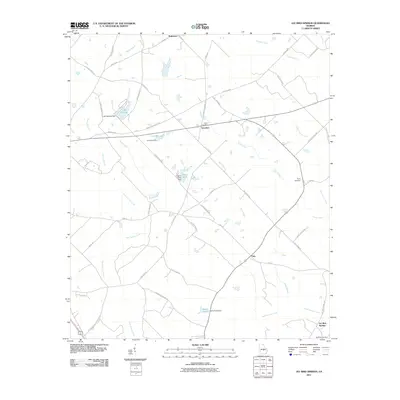
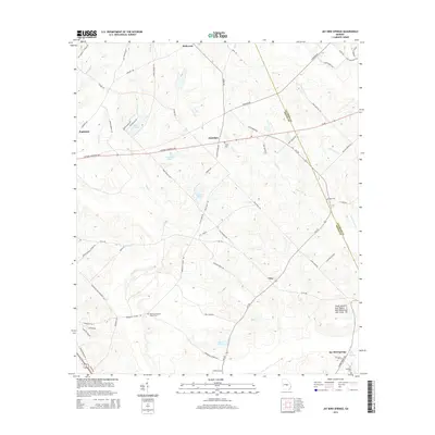
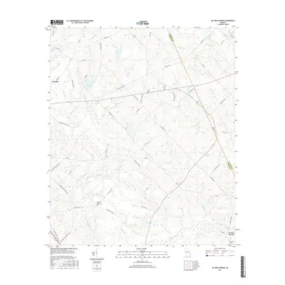
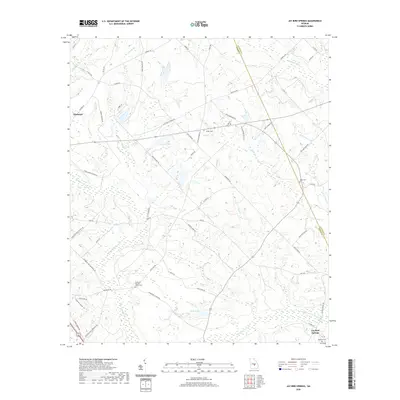
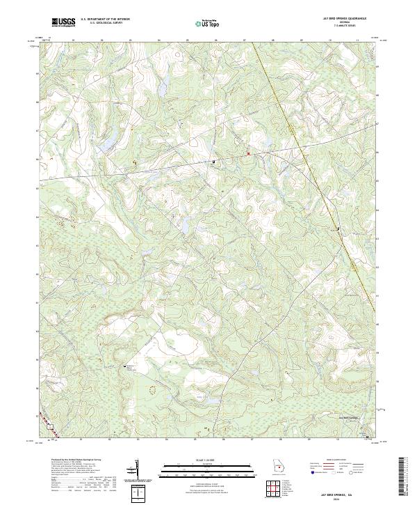
1972 Jay Bird Springs
Dodge County, GA
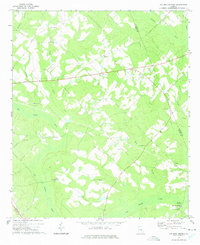
1972 Lake Cypress
Dodge County, GA
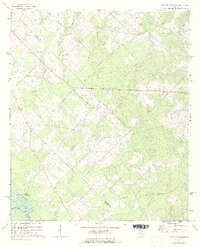
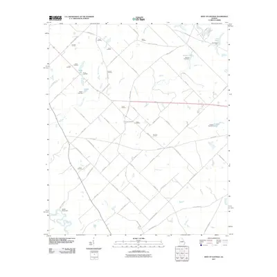
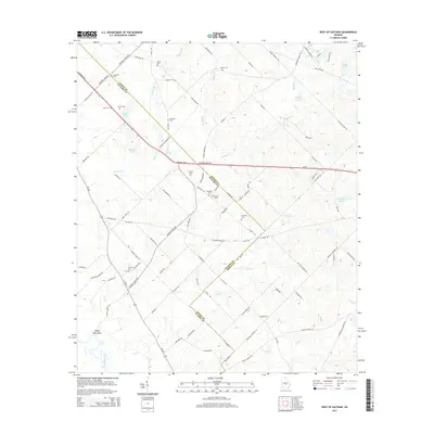
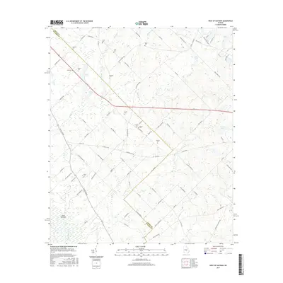
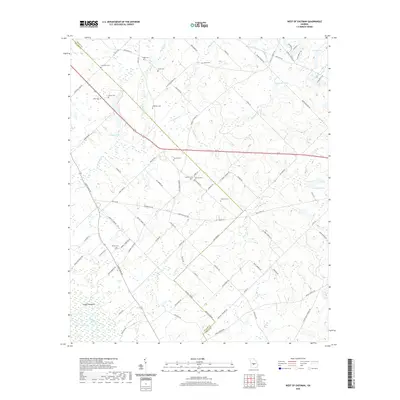
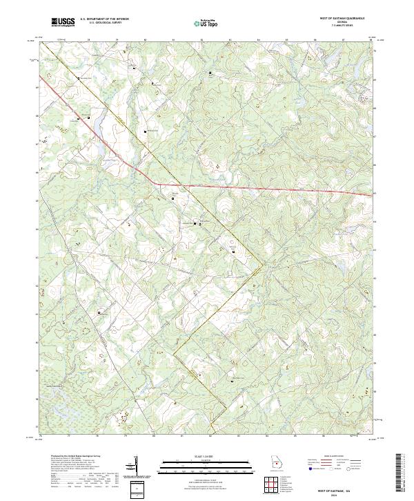
1972 West of Eastman
Dodge County, GA
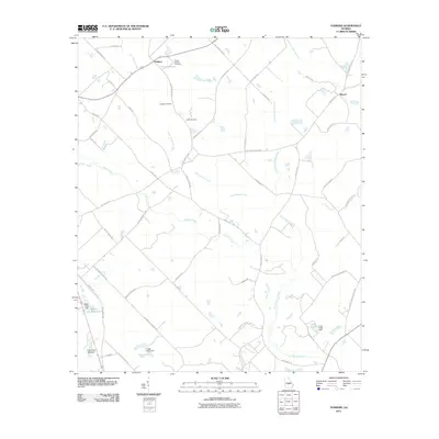
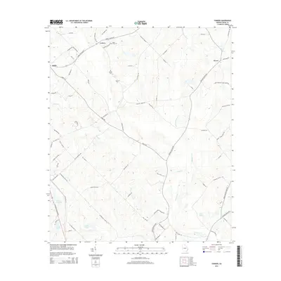
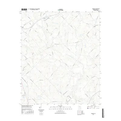
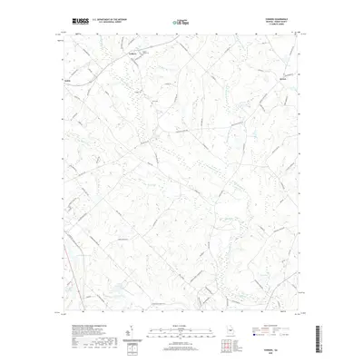
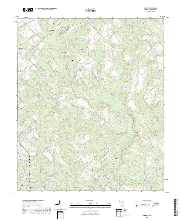
1974 Yonkers
Dodge County, GA
2011 Jay Bird Springs
Dodge County, GA
2011 Lake Cypress
Dodge County, GA
2011 West of Eastman
Dodge County, GA
2011 Yonkers
Dodge County, GA
2014 Jay Bird Springs
Dodge County, GA
2014 Lake Cypress
Dodge County, GA
2014 West of Eastman
Dodge County, GA
2014 Yonkers
Dodge County, GA
2017 Jay Bird Springs
Dodge County, GA
2017 Lake Cypress
Dodge County, GA
2017 West of Eastman
Dodge County, GA
2017 Yonkers
Dodge County, GA
2020 Jay Bird Springs
Dodge County, GA
2020 Lake Cypress
Dodge County, GA
2020 West of Eastman
Dodge County, GA
2020 Yonkers
Dodge County, GA
2024 Jay Bird Springs
Dodge County, GA
2024 Lake Cypress
Dodge County, GA
2024 West of Eastman
Dodge County, GA
2024 Yonkers
Dodge County, GA