
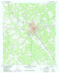
1972 Map of Eastman
USGS Topo · Published 1975About this map
Eastman serves as the central hub of this 1970s survey, showing a concentrated urban grid surrounded by the creeks and swamps of Dodge County. The Southern railroad line cuts a sharp diagonal through the landscape, linking the main town to the smaller settlement of Godwinsville in the southeast. This corridor was essential for the regional economy, passing by industrial markers like the Claypit and a local Substation.
Find a feature on this map
35 named features on this map. Tap any name to fly to it.
Don’t see what you’re looking for? This feature index may not catch every label — zoom into the map to look around manually.
Map Details
Editions of this 1972 Eastman Map
2 editions found
Other maps of this area

1956 · Cochran
USGS Topo · 1:62,500

1957 · Macon
USGS Topo · 1:250,000

1958 · Macon
USGS Topo · 1:250,000

1964 · Macon
USGS Topo · 1:250,000

1972 · West Of Eastman
USGS Topo · 1:24,000

1972 · Jay Bird Springs
USGS Topo · 1:24,000

1972 · Abbeville North
USGS Topo · 1:24,000
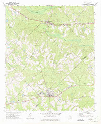
1972 · Milan
USGS Topo · 1:24,000

1972 · Lake Cypress
USGS Topo · 1:24,000

1973 · Cadwell
USGS Topo · 1:24,000