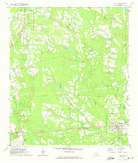
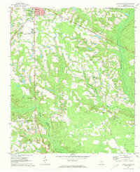
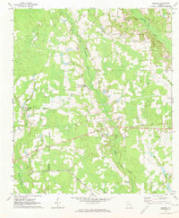
1971 Map of Nicholls
USGS Topo · Published 1974About this map
The railroad junction at Nicholls serves as the primary hub of activity in this corner of the Georgia coastal plain during the early 1970s. The town sits at the intersection of the Seaboard Coast Line and the Georgia and Florida RR, reflecting a landscape defined by timber and transit. Further west, smaller agricultural nodes like West Green, Chatterton, and Saginaw are spaced along the rail corridors, each serving the surrounding farms and logging operations.
Find a feature on this map
24 named features on this map. Tap any name to fly to it.
Don’t see what you’re looking for? This feature index may not catch every label — zoom into the map to look around manually.
Map Details
Editions of this 1971 Nicholls Map
2 editions found
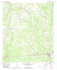
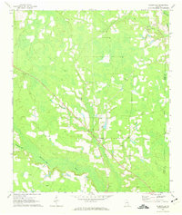
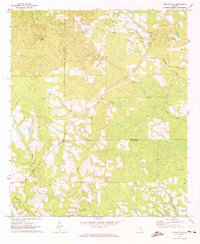
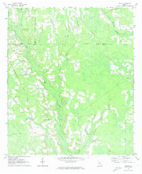
Other maps of this area

1953 · Waycross
USGS Topo · 1:250,000

1958 · Waycross
USGS Topo · 1:250,000
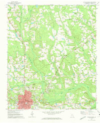
1971 · Douglas North
USGS Topo · 1:24,000
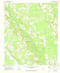
1971 · Nicholls NE
USGS Topo · 1:24,000
1971 · Douglas South
USGS Topo · 1:24,000
1971 · Wilsonville
USGS Topo · 1:24,000
1971 · Broxton NE
USGS Topo · 1:24,000
1971 · Beach
USGS Topo · 1:24,000
1971 · Sessoms
USGS Topo · 1:24,000
1971 · Denton
USGS Topo · 1:24,000