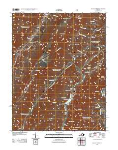
2011 Map of Healing Springs
USGS Topo · Published 2011About this map
Hot Springs and the surrounding resort landscape of Bath County define this 2011 survey, showing a mountain region where recreation and topography are deeply intertwined. The map traces the corridor between Healing Springs and Ashwood, punctuated by the high-altitude Ingalls Field airport perched atop Big Ridge. The eastern portion of the quadrangle is dominated by the recreational infrastructure of the Alleghenies, centered on Douthat Lake and the Douthat Dam.
Find a feature on this map
75 named features on this map. Tap any name to fly to it.
Don’t see what you’re looking for? This feature index may not catch every label — zoom into the map to look around manually.
Map Details
Editions of this 2011 Healing Springs Map
This is the sole edition of this map. No revisions or reprints were ever made.
Other maps of this area

1894 · Natural Bridge
USGS Topo · 1:125,000

1901 · Monterey
USGS Topo · 1:125,000

1923 · Warm Springs
USGS Topo · 1:48,000

1926 · Warm Springs
USGS Topo · 1:62,500

1929 · Falling Spring
USGS Topo · 1:24,000

1930 · Warm Springs Run
USGS Topo · 1:24,000

1930 · Mountain Grove
USGS Topo · 1:24,000

1931 · Healing Springs
USGS Topo · 1:24,000

1932 · Falling Spring
USGS Topo · 1:31,680

1933 · Mountain Grove
USGS Topo · 1:31,680