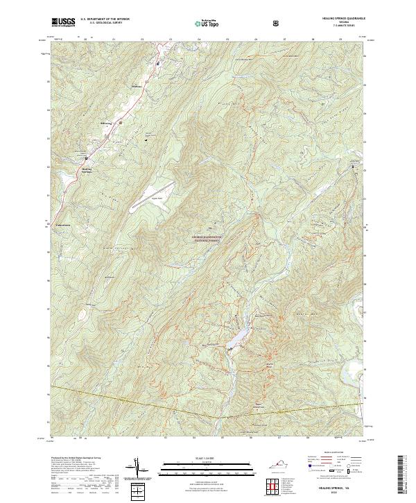
2022 Map of Healing Springs
USGS Topo · Published 2022About this map
Warm Springs Valley serves as a central corridor for rural life and travel in this pocket of the Alleghany Mountains. The landscape is defined by its deep ridges and narrow hollows, including Big Ridge and Beards Mtn, which shelter numerous creeks like Wilson Cr and Smith Cr. Settlement is concentrated along the valley floors, with small communities such as Ashwood and Healing Springs providing local anchor points. Genealogy researchers will find significant value in the mapped cemeteries, including the Healing Springs Baptist Church Cem and the William Keyser Family Cem. Much of the eastern and southern terrain is managed as part of the George Washington National Forest, where a network of trails such as the Middle Mountain (South) Trl and Beards Mountain Trl weave through the high country. The high-altitude Ingalls Field airstrip sits atop Warm Springs Mtn, overlooking the Cowpasture River drainage to the east.
Find a feature on this map
106 named features on this map. Tap any name to fly to it.
Don’t see what you’re looking for? This feature index may not catch every label — zoom into the map to look around manually.
Map Details
Editions of this 2022 Healing Springs Map
This is the sole edition of this map. No revisions or reprints were ever made.
Other maps of this area

1894 · Natural Bridge
USGS Topo · 1:125,000

1901 · Monterey
USGS Topo · 1:125,000

1923 · Warm Springs
USGS Topo · 1:48,000

1926 · Warm Springs
USGS Topo · 1:62,500

1929 · Falling Spring
USGS Topo · 1:24,000

1930 · Warm Springs Run
USGS Topo · 1:24,000

1930 · Mountain Grove
USGS Topo · 1:24,000

1931 · Healing Springs
USGS Topo · 1:24,000

1932 · Falling Spring
USGS Topo · 1:31,680

1933 · Mountain Grove
USGS Topo · 1:31,680