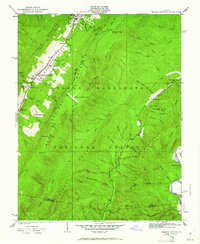
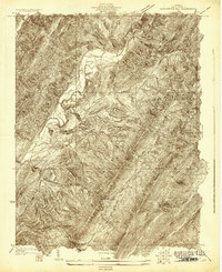
1931 Map of Healing Springs
USGS Topo · Published 1961About this map
Hot Springs and Healing Springs anchor the Warm Springs Valley at the foot of Little Mountain in this early 1930s topographic survey. The landscape is defined by the thermal spring resorts and the early aviation presence at Ingalls Landing Field. Beyond the resort centers, the map documents a rural network of mountain life within the George Washington National Forest, where family-named features like Porters Mill Pond and Hobby Horse Farm indicate the local agricultural and milling economy of Bath County.
Find a feature on this map
74 named features on this map. Tap any name to fly to it.
Don’t see what you’re looking for? This feature index may not catch every label — zoom into the map to look around manually.
Map Details
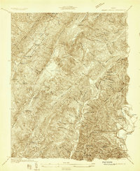
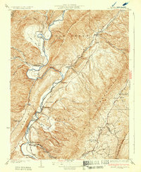
Editions of this 1931 Healing Springs Map
2 editions found
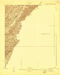
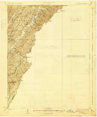
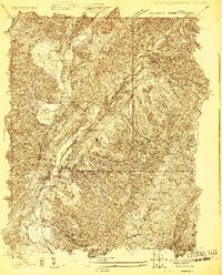
Other maps of this area

1894 · Natural Bridge
USGS Topo · 1:125,000

1901 · Monterey
USGS Topo · 1:125,000
1923 · Warm Springs
USGS Topo · 1:48,000
1926 · Warm Springs
USGS Topo · 1:62,500
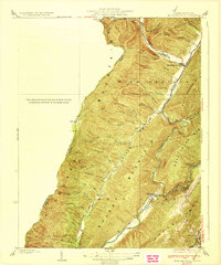
1929 · Falling Spring
USGS Topo · 1:24,000
1930 · Warm Springs Run
USGS Topo · 1:24,000

1930 · Mountain Grove
USGS Topo · 1:24,000
1931 · Healing Springs
USGS Topo · 1:24,000
1932 · Falling Spring
USGS Topo · 1:31,680
1933 · Mountain Grove
USGS Topo · 1:31,680