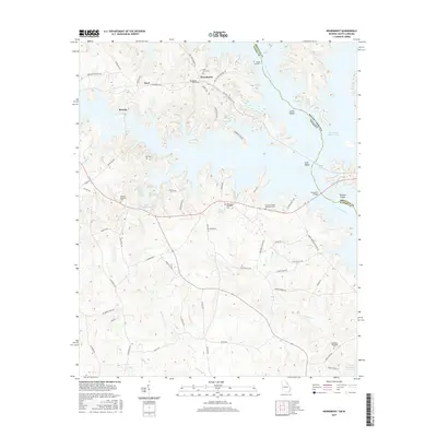
2017 Map of Heardmont
USGS Topo · Published 2017About this map
The Savannah River defines the border between Georgia and South Carolina in this 2017 survey, where the waters of Richard B Russell Lake have reshaped the landscape. While modern reservoirs dominate the lowlands, the high ground retains the imprints of long-standing communities like Heardmont, Beverly, and Pearl. Local history and genealogy are anchored by numerous rural sites, including Bethel Baptist Cem and the uniquely named Gods Acre Cem. The road network, including Pearl Mill Rd and Dan Tucker Cemetary Dr, suggests a legacy of family landholdings and small-scale industry. From Trotters Shoals in the north to the northern reaches of J Strom Thurmond Reservoir in the south, this map documents the persistent settlement patterns of Elbert and Abbeville counties within a heavily managed river system.
Find a feature on this map
71 named features on this map. Tap any name to fly to it.
Don’t see what you’re looking for? This feature index may not catch every label — zoom into the map to look around manually.
Map Details
Editions of this 2017 Heardmont Map
This is the sole edition of this map. No revisions or reprints were ever made.
Other maps of this area

1893 · Elberton
USGS Topo · 1:125,000

1906 · Crawfordville
USGS Topo · 1:125,000

1953 · Athens
USGS Topo · 1:250,000

1954 · Greenville
USGS Topo · 1:250,000

1955 · Broad
USGS Topo · 1:24,000

1955 · Chennault
USGS Topo · 1:24,000

1958 · Greenville
USGS Topo · 1:250,000

1958 · Athens
USGS Topo · 1:250,000

1958 · Elberton
USGS Topo · 1:62,500

1959 · Athens
USGS Topo · 1:250,000