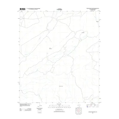
2013 Map of Heart Mountain
USGS Topo · Published 2013About this map
Tinaja Mountains dominate the central landscape of this West Texas region, which is characterized by seasonal watercourses and remote ranching outposts. The drainage network is defined by Hackberry Cr and the winding course of Spring Cr, both feeding into a landscape where water management is critical for survival and industry. Human activity is marked by landmarks like Beckett Corner Windmill, a essential point for livestock and land management in this arid environment. Near the northern boundary, the Gage Indian Creek Ranch serves as a primary hub of activity, situated near the headwaters of Indian Cr. The eponymous Heart Mountain rises in the southern portion of the quadrangle, overlooking a network of primitive roads and intermittent springs, including Tinaja Spring, that have historically dictated the placement of trails and boundaries throughout Brewster County.
Find a feature on this map
8 named features on this map. Tap any name to fly to it.
Don’t see what you’re looking for? This feature index may not catch every label — zoom into the map to look around manually.
Map Details
Editions of this 2013 Heart Mountain Map
This is the sole edition of this map. No revisions or reprints were ever made.
Other maps of this area

1917 · Santiago Peak
USGS Topo · 1:62,500

1917 · Hood Spring
USGS Topo · 1:62,500

1918 · Bone Spring
USGS Topo · 1:125,000

1918 · Hood Spring
USGS Topo · 1:62,500

1918 · Santiago Peak
USGS Topo · 1:62,500

1920 · Monument Spring
USGS Topo · 1:62,500

1920 · Marathon
USGS Topo · 1:62,500

1921 · Monument Spring
USGS Topo · 1:62,500

1921 · Marathon
USGS Topo · 1:62,500

1931 · Hood Spring
USGS Topo · 1:62,500