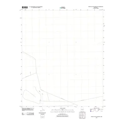
2010 Map of Heart of the Sands NE
USGS Topo · Published 2010About this map
Alkali Flat dominates this 2010 survey of the Tularosa Basin, where the white desert sands and salt crusts of New Mexico create a stark, specialized landscape. This quadrangle captures a remote section of the White Sands Missile Range, defined by its lack of permanent settlement and its role in modern military history. The only major infrastructure shown is the winding WSMR P Route 10, which provides the primary access through this arid environment. Within this expanse lies Ratscat, an intriguing named location typical of the specialized testing and observation points found throughout the range. The map illustrates the minimal human footprint in this corner of Doña Ana County, where natural terrain and strategic utility intersect.
Find a feature on this map
3 named features on this map. Tap any name to fly to it.
Don’t see what you’re looking for? This feature index may not catch every label — zoom into the map to look around manually.
Map Details
Editions of this 2010 Heart of the Sands NE Map
This is the sole edition of this map. No revisions or reprints were ever made.
Other maps of this area

1916 · Tularosa
USGS Topo · 1:125,000

1916 · Point Of Sands
USGS Topo · 1:125,000

1947 · Point Of Sands 2
USGS Topo · 1:62,500

1948 · Lumley Lake
USGS Topo · 1:62,500

1948 · Tularosa
USGS Topo · 1:62,500

1948 · Holloman
USGS Topo · 1:62,500

1954 · Tularosa
USGS Topo · 1:250,000

1955 · Las Cruces
USGS Topo · 1:250,000

1958 · Las Cruces
USGS Topo · 1:250,000

1958 · Tularosa
USGS Topo · 1:250,000