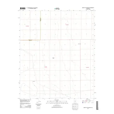
2013 Map of Heart of the Sands NE
USGS Topo · Published 2013About this map
Tularosa Valley dominates this desert landscape in southern New Mexico, a region defined by its distinct geological basins and sparse vegetation. The map reveals the expansive white gypsum dunes of White Sands and the nearby Alkali Flat, illustrating the unique arid environment of the Tularosa Basin. This 2013 survey follows the administrative boundary between Doña Ana Co and Otero Co, highlighting how political lines intersect with the natural topography. The minimal human infrastructure noted here is characteristic of this protected and scientifically significant area, where the shifting sands and alkali deposits create a constantly evolving terrain.
Find a feature on this map
8 named features on this map. Tap any name to fly to it.
Don’t see what you’re looking for? This feature index may not catch every label — zoom into the map to look around manually.
Map Details
Editions of this 2013 Heart of the Sands NE Map
This is the sole edition of this map. No revisions or reprints were ever made.
Other maps of this area

1916 · Tularosa
USGS Topo · 1:125,000

1916 · Point Of Sands
USGS Topo · 1:125,000

1947 · Point Of Sands 2
USGS Topo · 1:62,500

1948 · Lumley Lake
USGS Topo · 1:62,500

1948 · Tularosa
USGS Topo · 1:62,500

1948 · Holloman
USGS Topo · 1:62,500

1954 · Tularosa
USGS Topo · 1:250,000

1955 · Las Cruces
USGS Topo · 1:250,000

1958 · Las Cruces
USGS Topo · 1:250,000

1958 · Tularosa
USGS Topo · 1:250,000